Indoor Wayfinding and Navigation System | Nextome RTLS
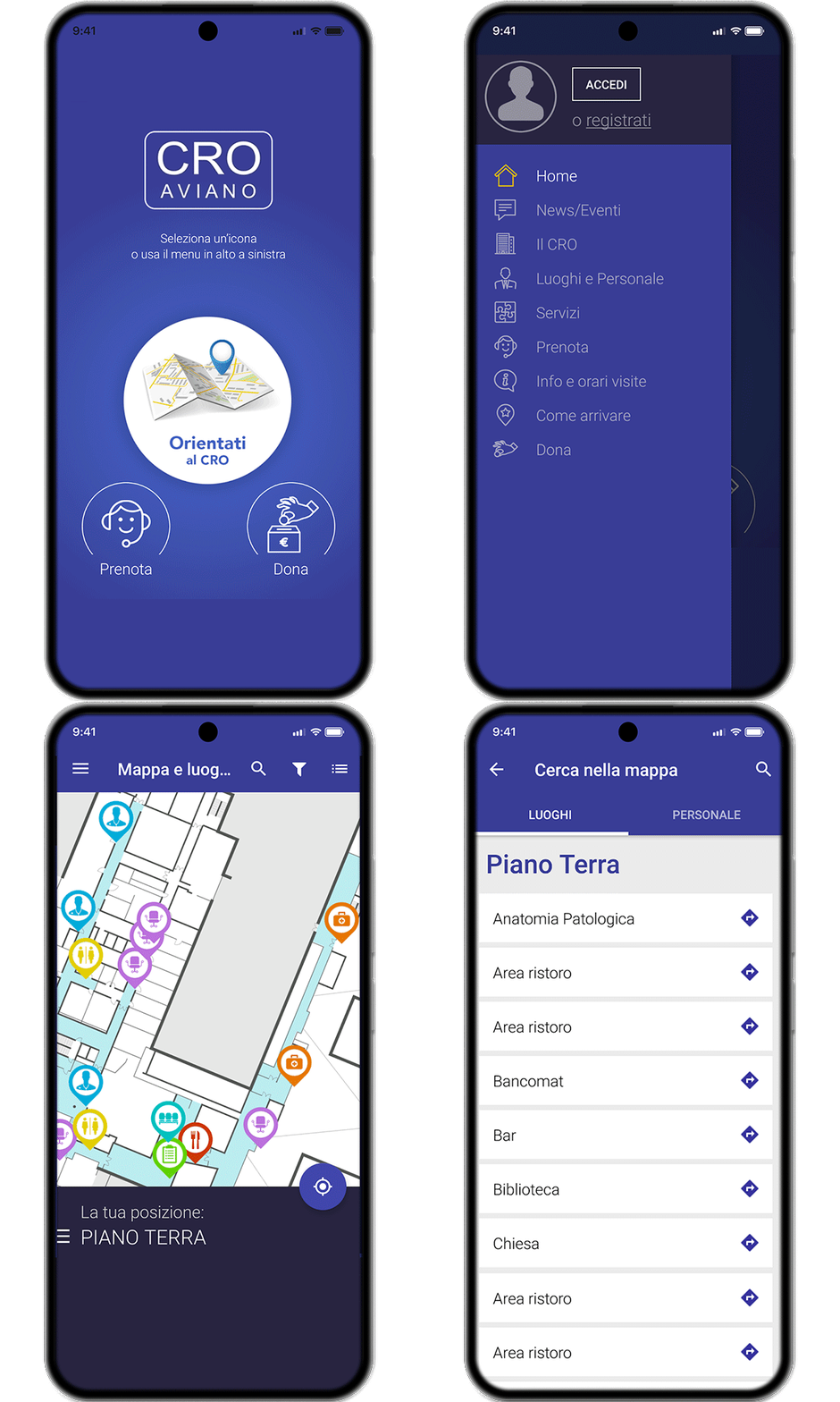
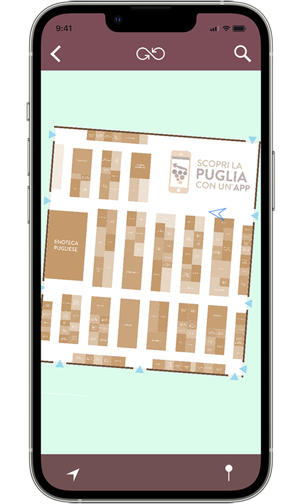
Thanks to our state-of-the-art indoor maps and positioning system, you can now make warehouses, malls, airports, stations, hospitals and all kinds of indoor spaces more accessible than before.
That’s possible thanks to
Bluetooth® Low Energy and beacons, tiny devices that can be installed easily in every location.
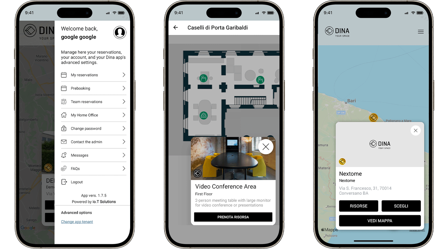
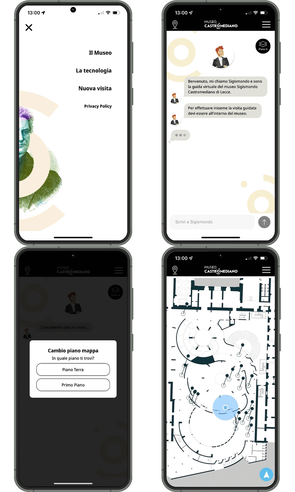
With indoor navigation, you can now improve your customer experience, increase employee safety and productivity. What people need are only a smartphone and an app.
Accurate
with 1.5-meters accuracy
Scalable
thanks to the use of off-the-shelf technology
Customizable
with our advanced SDK
Make your users get to places more easily and quickly, reduce their waiting time and avoid crowded areas.
Our algorithm calculates the best route to the destination. Just as easy and familiar as your favorite turn-by-turn navigation system.
Three ingredients. Outstanding results.
NEXTOME LOCATION ENGINE
Our powerful proprietary software collects data and provides accurate position through machine learning.
BLUETOOTH® BEACON
The core of our localization process: small radiofrequency hardware devices that work as anchors spanned across the venue.
SMARTPHONE’S SENSOR
These sensors are embedded in all smartphones to capture movement and displacement and provide valuable information for accurate positioning.
Your venues are in your hands with our HUB and APIs.
A powerful tool to easily manage both the hardware infrastructure and the map details (anchors, beacons, navigation paths, point of Interests), enable location-based services (fencing areas, proximity notifications) and visualize real time and historical data thanks to Nextostats.
Infrastructure
Management
Management
The Nextome Hub Web simplifies the management of the Hardware infrastructure (gateways or beacons anchors, BLE tags etc) allowing to register and associate each element to the map or to a specific object/person while monitoring their battery status in real time.
Map
Management
Management
Nextome Hub Web allows an easy management of any map detail leaving users with different users profiles free to add, modify and delete paths for Navigation, Points of Interest, fencing areas, rooms and activate location based events, like proximity notifications.
Data
Visualization
Visualization
Nextome stores data and provides visibility with several degrees of accuracy that comply with privacy and labor control laws, like GDPR, and union agreements.
You can either visualize your data in real time or access the powerful Nextostats dashboard for historical analysis.
You can either visualize your data in real time or access the powerful Nextostats dashboard for historical analysis.
Data
Integration
Integration
Enable an interoperable data ecosystem: through REST APIs and MQTT, data can be integrated with third-party tools (applications, enterprise systems, BI platforms) to extend analytics and reporting capabilities.
See our Nextome Hub Web video guide
Always-on support
With 360 degrees onsite deployment,
24/7 technical support, and a dedicated key success manager, we make sure you reach your goals in every implementation phase - from project configuration to monitoring.
CONTACT US

